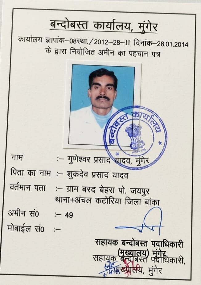
Empirical on-site measurements, authentic Cadastral maps, and revenue legal vetting across Bihar & Jharkhand. Led by Senior Amin Mr. Guneshwar Prasad Yadav.
High-precision land measurement by senior settlement amins using Electronic Total Station (ETS) and traditional Gunia-chain calibrated to local Laggi.
Official Cadastral (CS), Revisional (RS), and Bihar Special Survey 2026 ground triangulation matching physical plots with 16"=1 mile revenue sheets.
End boundary encroachment and neighbor disputes with precision ETS boundary pegging based on original Mouza tri-junction pillars.
Comprehensive land verification comparing on-site ground physical possession with registered deed boundaries and government portal records.
Protect your investment before paying token advance money. 16-point rigorous check: SPT Act Basouri status, 30-year deed chain, Jamabandi, and road access.
Expert scrutiny of land documents: Register-II, Khatiyan, online mutation orders, and Kewala chains across Bihar Bhumi and JharBhoomi.
In-depth due diligence for developers, builders, and NRI investors across Deoghar-Banka corridor with signed technical risk reports.
Equitable family land partition based on legal succession, Vanshavali consent, and physical boundary demarcation with clear map drawings.
Professional guidance for rejected mutations, zero-rakba Jamabandi rectification via Parimarjan Plus, and Circle Office procedure compliance.
Pre-registration verification: verify seller ownership, check circle rate valuations, avoid stamp duty penalties, and review draft deeds.
Neutral, empirical cadastral measurement and signed technical field reports to de-escalate boundary disputes with adjoining landholders.
Digital Cadastral GIS command center, Electronic Total Station laser telemetry, and executive consultation chambers with Senior Settlement Amin.