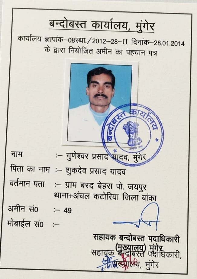
Millimeter-accurate plot area calculation, diagonal triangulation, and traditional Laggi reconciliation. Conducted by senior revenue amins with 15+ years field experience across Deoghar, Banka, Dumka, Bhagalpur, and Jamui.
Laggi lengths vary by Mauza (5.5 haath = 8.25 ft; 6 haath = 9 ft). We calculate square footage matching the exact local revenue gazette standard so your Kattha and Dhur calculations match government records.
Measuring only four sides of a plot leads to severe area errors. We measure diagonal cross-lines (Karna) to calculate true polygon geometry, ensuring no hidden square feet deficit.
We verify your field boundaries against official CS (Cadastral Survey) and RS (Revisional Survey) 16"=1 mile maps from fixed revenue reference points (Tri-junction Seemana pillars).
Land area is calculated using regional Laggi lengths. In Santhal Pargana (Deoghar, Dumka), a 6-haath Laggi is standard (1 Dhur = 68.06 sq.ft, 1 Kattha = 1,361.25 sq.ft). In Banka and Bhagalpur, 5.5-haath or 6-haath Laggi is standard (1 Dhur = 57.21 sq.ft or 68.06 sq.ft). Our team calculates exact square footage and maps it directly to Kattha, Bigha, and Dismil.
We combine modern Electronic Total Station (ETS) laser telemetry for millimeter-accurate boundary diagonals with traditional revenue Gunia scales and 66-foot Gunter chains to ensure 100% harmony with government Cadastral Survey (CS) sheets.
Yes. Every completed survey includes an empirical Naksha / Taksim sketch showing all exterior boundary dimensions, diagonal checks, adjoining plot numbers (Chouhaddi), and computed area certified with Senior Amin seal.
Yes. We utilize triangulation and coordinate geometry rather than approximate average formulas, ensuring that irregularly shaped or sloped parcels have mathematically verified square footage.