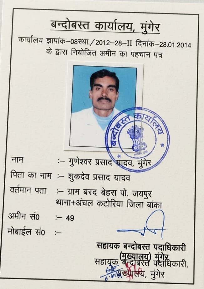
Where over 15 years of traditional cadastral jurisprudence merge with next-generation spatial computing. Inspect digital Mouza sheets, superimpose Cadastral (CS) vs Revisional (RS) surveys, run laser Electronic Total Station (ETS) telemetry, and consult directly inside the command suite of Senior Settlement Amin Mr. Guneshwar Prasad Yadav.
Step inside the specialized workstations where complex land titles, historical maps, and satellite coordinates are verified before legal demarcation.

This is the nerve center of LandAmin operations. Here, historical revenue maps (1902–1920 Cadastral Survey and 1960–1985 Revisional Survey) are high-resolution scanned, mathematically rectified, and synchronized with modern Electronic Total Station field points.
Drag the divider to see how our Virtual Studio aligns 1908 British Cadastral (CS) sheets with 2026 satellite vectors to expose boundary encroachments.
Eliminating arbitrary guesswork through laser precision, legal geometry, and unbroken historical record provenance.
Electronic Total Station optics project millimeter-precise infrared lasers across undulating terrain, bypassing the physical sagging and thermal expansion flaws of old iron chains.
We georeference historical 1908 Cadastral Survey (CS) sheets against 1960 Revisional Survey (RS) and current satellite orthophotos, revealing subtle road widenings and encroachments.
Traditional standards are never discarded. We cross-verify 66-foot Gunter chains (100 links = 4 rods = 1 chain) and regional Laggi formulas (6 hath in Deoghar/Banka, 5.5 hath in South Bihar).
Our in-house AI diagnostic system cross-checks deed mutation chains, scans lineage trees (Vanshavali), and flags legal non-compliance within seconds before physical survey deployment.
Explore high-definition perspectives of our specialized drafting suites, legal consultation lounges, and field survey consoles.

Senior Amin Mr. Guneshwar Prasad Yadav presiding over complex plot boundaries with brass Gunia scale, ETS unit, and digital audit tablet.

Tailored navy executive attire, golden justice scale, and 15+ years of unblemished land adjudication across Bihar and Jharkhand.
Full perspective of the drafting console, Electronic Total Station, drafting blueprints, and illuminated LandAmin acoustic command wall.

Executive private conference suite with curved emerald smart glass, golden emblem, and live land records verification screens.

Dual-display workstation matching digitized village boundary sheets with live Sentinel and Google Earth spatial coordinate grids.

Senior Amin in crisp white executive attire reviewing original Khatiyan records with live BhuNaksha digital boundary feed.
Every inch of your ancestral or acquired land represents a lifetime of sacrifice. In our studio, we do not guess; we verify down to the millimeter and cross-check every word of the Khatiyan.
Schedule an in-studio executive session or secure a live digital Cadastral GIS review for your land parcel.
Get direct, authoritative guidance from one of the most respected Cadastral Settlement authorities across Deoghar, Banka, Dumka, and Bihar-Jharkhand border districts.