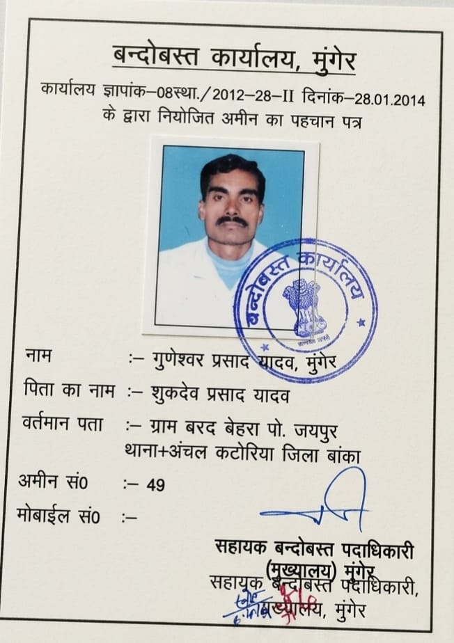
Tying physical ground boundaries to official 16"=1 mile government revenue sheets. Led by Senior Settlement Amin Shri Guneshwar Prasad Yadav with 15+ years field settlement experience.
Every genuine survey must originate from certified government tri-junction revenue pillars (तीन सीमाना पत्थर) to eliminate cumulative boundary drift.
We inspect original 1902–1920 Cadastral sheets alongside later Revisional records to identify historical widening of public paths, nalas, and forest margins.
Guiding raiyats in Banka, Bhagalpur, and Jamui with self-declaration (Prapatra-2), ancestral Vanshavali genealogical validation, and Khesra demarcation before draft record publishing.
Cadastral Survey (CS) maps were created between 1902 and 1920 across Bihar and Bengal presidency. Revisional Survey (RS) maps were created between 1965 and 1985. In many areas, RS records were challenged or partially implemented. Our survey reconciles physical boundary positions against both CS and RS sheets to establish historical continuity.
We assist landowners in identifying physical Khesra plot boundaries, preparing self-declarations (Prapatra-2), verifying family genealogical trees (Prapatra-3(1) Vanshavali), and resolving boundary objections before Khanapuri and draft publication.
Cadastral surveys cannot start from arbitrary boundary walls. They must tie into established government tri-junction pillars (तीन सीमाना पत्थर), permanent water bodies, or recognized road intersections that appear on the 16"=1 mile revenue sheets.