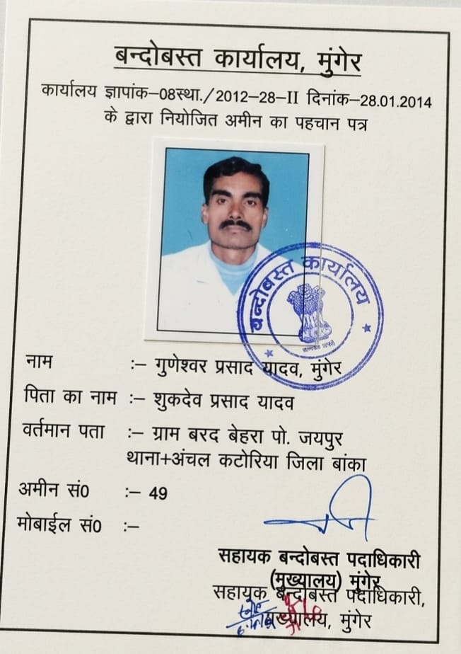
Resolve ancestral land division peacefully through empirical measurement and consensual Taksim maps rather than family conflict. Certified by Senior Settlement Amin Shri Guneshwar Prasad Yadav (15+ Years Experience).
Plots are divided not by rough eyesight, but by exact square footage matching legal inheritance shares. Irregular corners are mathematically adjusted.
The most frequent reason partition fails is unfair road access. We design plot splits ensuring each co-sharer receives proportionate commercial or residential road frontage.
Where back plots must be created, an official 10 to 12-foot common passage (रास्ता) is clearly measured, demarcated, and recorded in the Taksim agreement before pegging.
All co-sharers review the colored Taksim map showing exact dimensions and sign in mutual agreement, providing conclusive evidence for revenue mutation (Dakhil-Kharij).
Unequal road frontage is the leading cause of family disputes. We calculate proportionate frontage along existing access roads for each share rather than allowing one co-sharer to monopolize front-row land.
A detailed technical map prepared by our Senior Amin displaying each co-sharer’s share colored distinctly, with precise linear dimensions on all four boundaries, internal common paths, and total square footage.
Yes. A mutually signed Taksim map supported by a registered Batwara deed or family settlement agreement is recognized by Circle Offices for individual Jamabandi creation.