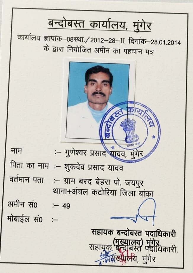
De-escalate boundary conflicts with empirical mathematics and certified Cadastral map triangulation. Senior Settlement Amin Shri Guneshwar Prasad Yadav provides authoritative on-site technical clarity.
Our amins do not manipulate measurements for any party. Ground truth is determined strictly from government revenue maps and established tri-junction pillars.
Transparent laser measurement shown on-screen to both landowners simultaneously, proving true millimeter distances and removing arbitrary subjectivity.
Official documentation of boundary positions, physical encroachment extent (in square feet), and adjacent plot numbers signed by the Senior Amin.
Most boundary disputes arise from conflicting informal measurements. Our Senior Settlement Amin acts as a neutral empirical expert, anchoring the survey directly to government tri-junction Seemana pillars and village Cadastral sheets in full view of both parties.
Yes. While only courts and statutory revenue officers have judicial power, our signed technical field sketches, diagonal triangulation charts, and Cadastral comparison memos serve as clear empirical evidence in civil suits (Title Suits), 144/145 CrPC proceedings, and BLDR Act cases.
We recommend issuing written advance notice to the neighbor. If they refuse to attend, the survey proceeds from certified public revenue reference points, and the refusal along with photographic proof of existing boundaries is documented in the technical inspection report.