
Order Document Certified Copy • Speed Post
Fast
WhatsApp Chat with Amin
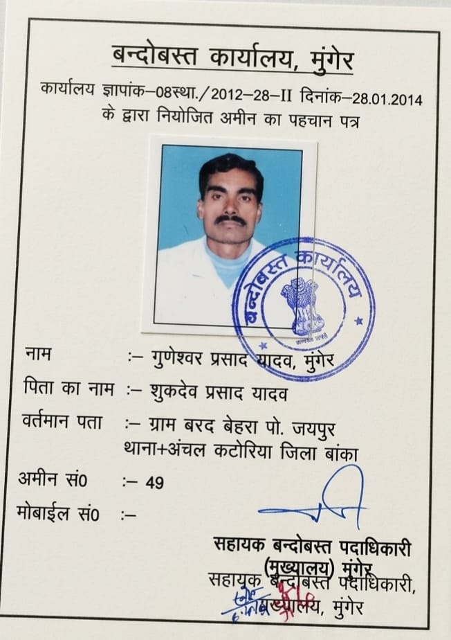
🔍 DOCUMENTED FIELD EVIDENCE 🏛️ Guneshwar Yadav — Govt. Certified Senior Settlement Amin (15+ Yrs)

LandAmin Case Studies

Detailed breakdowns of real-world land verification, boundary disputes, and ancestral partition cases across Deoghar, Jasidih, Madhupur, and Banka. All cases are anonymized in compliance with customer confidentiality.

CASE #DEO-2026-04 • JASIDIH RAILWAY CORRIDOR

Preventing a ₹28 Lakh Loss: Fake Basouri Claim on Agricultural Raiyati Land

1. The Client's Problem: An NRI buyer based in Delhi was on the verge of executing a sale deed for an 8-Dismil plot near Jasidih Junction, Deoghar. The local broker claimed the land was free-hold "Basauri" homestead land exempt from SPT Act restrictions.
2. Ground & Record Due Diligence: Our survey team conducted a physical verification and ordered historical records. While the seller presented an unverified 2018 unregistered deed, the 1908 Cadastral Survey Khatian and active Jharbhoomi Register-II showed the holding as ancestral agricultural Raiyati land. No official settlement order under Section 20 of the SPT Act 1949 had ever been granted.
3. The Empirical Outcome: LandAmin issued a Red-Flag Risk Scorecard. The buyer withheld token money. Two months later, the local Circle Office initiated eviction proceedings under Section 42 against adjacent buyers who had registered without verification.
⚖️ Legal Distinction: LandAmin provides field measurement and documentary audit evidence. Formal legal representation before courts must be handled by registered advocates.
CASE #DEO-2026-09 • DEOGHAR SADAR

Resolving a 4-Year Boundary Wall Demolition Dispute Through Seemana Triangulation

1. The Conflict: Two neighboring landowners in Castairs Town, Deoghar were entangled in police complaints when one landowner started erecting a foundation wall. The neighbor claimed a 1.5-foot encroachment along a 60-foot boundary line.
2. Cadastral Survey & Seemana Grounding: Rather than measuring from contested fences, Senior Amin Guneshwar Yadav established an anchor point from the permanent British revenue Seemana stone at the ward tri-junction. Using a calibrated Gunter chain and diagonal triangulation (कर्ण नापी), the exact mathematical corner coordinates were pegged.
3. The Outcome: The wall was shifted by 4 inches to align with the true 16"=1 mile Mouza sheet. Both neighbors signed the demarcation sketch on-site; four years of litigation threats were permanently resolved in one afternoon.