Empirical cadastral land survey, ancestral family partition (Batwara), and boundary demarcation across Mohanpur Sadar, Choupal, Ghormara corridor, and Trikut foothills Mouzas. Conducted with authentic Mouza maps and 6-haath Laggi standards.
Dividing multi-generational family plots in Mohanpur villages with exact square-footage allocation and proportionate road frontage access for each brother.
Checking historical government canal and nullah embankment boundaries from 1908 Cadastral maps to prevent building within watercourse reservations.
Demarcating commercial land parcels along the Deoghar-Dumka highway and Trikut road to establish permanent, undisputed corner boundary pegs.
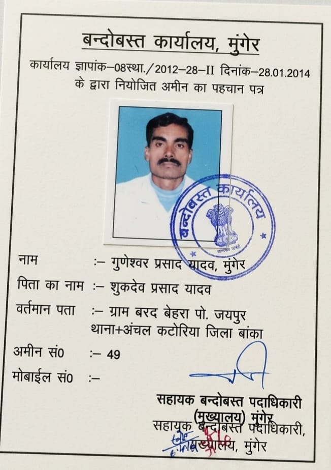
Deploy Senior Amin Guneshwar Prasad Yadav for authoritative measurement and boundary settlement.